Smart and Sustainable Planning for Cities and Regions (SSPCR) International Conference 2025
On 11th December 2025, the Institute for Urban Excellence (iUE) organised a special session “Soil Matters: Spatial Planning and Design with Soil“, as part of the Smart and Sustainable Planning for Cities and Regions (SSPCR) International Conference. Organised by Yoann Clouet, this session addressed the critical challenge of soil representation in planning (and design) frameworks.
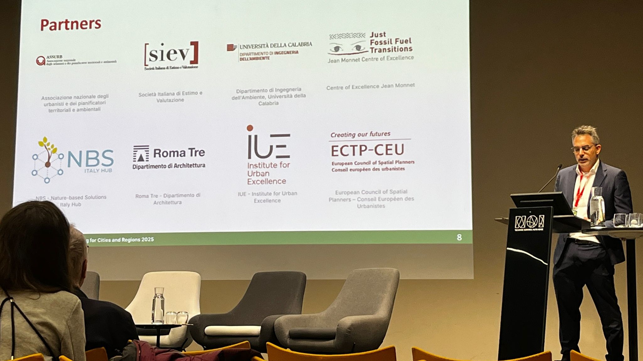
This special session drew from on-going research as part of the EU-funded project SPADES (Spatial Planning and DEsign with Soil), and invited contributions from other researchers.
The session brought to light reflections on the needed integration of soil health into urban planning and design frameworks. Despite soil’s pivotal role in delivering essential ecosystem services (ESS) and addressing challenges like climate change and biodiversity loss, soil and its health remains underrepresented in spatial planning and decision-making processes. This is framed by the European Union’s objectives of No Net Land Take (NNLT) by 2050 and Healthy Soil by 2050, and the recent adoption of the EU Soil Monitoring Law.
The primary focii included:
» The current focus of EU targets (NNLT, no net soil sealing) primarily on quantitative restrictions, while neglecting crucial aspects of soil quality.
» The lack of specialized knowledge and tools among spatial planners necessary to effectively address soil-related issues.
» The need for capacity building and tools to mainstream soil considerations into planning, especially given that small and medium-sized municipalities are major contributors to soil sealing but often lack the mandate or resources to fully integrate soil conservation strategies.
Key discussions and case studies
INDUCED LAND TAKE AND GOVERNANCE
In their presentation, Margherita Petri and Giorgia Alice Terno (PhD students at Politecnico di Milano), highlighted the issue of induced land take (the conversion of land that occurs as a secondary effect of large infrastructure projects). This is often under monitored and exacerbates land fragmentation. The A35 BreBeMi highway in the Lombardy region of Italy served as a case study:
» The construction of the highway resulted in induced land take that was more than three times greater than the direct land consumption caused by its route (amounting to 750 ha versus 278 ha, considering a 500m buffer).
» An analysis of 27 local urban plans revealed a significant lack of awareness, with only one municipality providing precise land take data caused by BreBeMi, and 70% failing to openly oppose the radical landscape alteration.
» They suggest a need for a coordinated and shared method at a supra-municipal scale to manage the territory adjacent to future large infrastructure, preventing fragmented local decision making on land use changes.
SOIL QUALITY ASSESSMENT AND ECOSYSTEM SERVICES VALIDATION
The presentations of Silvia Frezzi (PhD student at University Of Trento) and Marialaura Giuliani (PhD student at University Of Brescia), focused on developing methodologies to translate complex soil science into actionable insights for planners.
In her presentation, Silvia Frezzi proposed to compare frameworks for Soil Quality Index that link soil properties (SP), soil functions (SF), and ecosystem services (ESS). Soil Quality Index can support standardized urban soil quality assessments. She found that explicit consideration of soil functions and ESS is necessary to support planning and promote effective compensation and restoration measures. All four reviewed frameworks developed synthetic indices for evaluating soil quality, with three based on SF, and one linking SF to ESS.
Marialaura Giuliani‘s presentation focused on Ecosystem Services (ESS) valuation and soil-specific approach. The use of ESS valuation (ie. making the benefits of nature visible in economic and planning terms) was presented as a strategic tool to enhance the role of soil in territorial decision-making, particularly in resource-constrained municipalities. However, approaches for soil ESS are still emerging and must translate complex data into digestible insights for policymakers.
Andrea Bortolotti (Politecnico di Milano) presented on going research conducted at the Off Campus Cascina Nosedo in Milan, highlighting the challenge of integrating situated and site-specific knowledge held by local stakeholders. Speficially, integrating data on the compromised soils from past activities in the area (such as backfilling and excavation) into the planning vision is critical, given that these soils are highly heterogeneous and difficult to classify or manage regulatory terms.
INTEGRATION PATHWAYS FOR SOIL INTO PLANNING: PRACTICE AND EDUCATION
Overall, the session emphasized the need to build soil literacy among current and future practitioners.
» By integrating soil considerations into existing planning curricula: in their presentation, Yoann Clouet (iUE) highlighted that existing spatial planning education needs to evolve beyond covering concepts like land use and sealing, and delve into the underlying reasons (ESS) and methodologies (preserving soil functions tied to quality and quantity) essential for soil conservation.
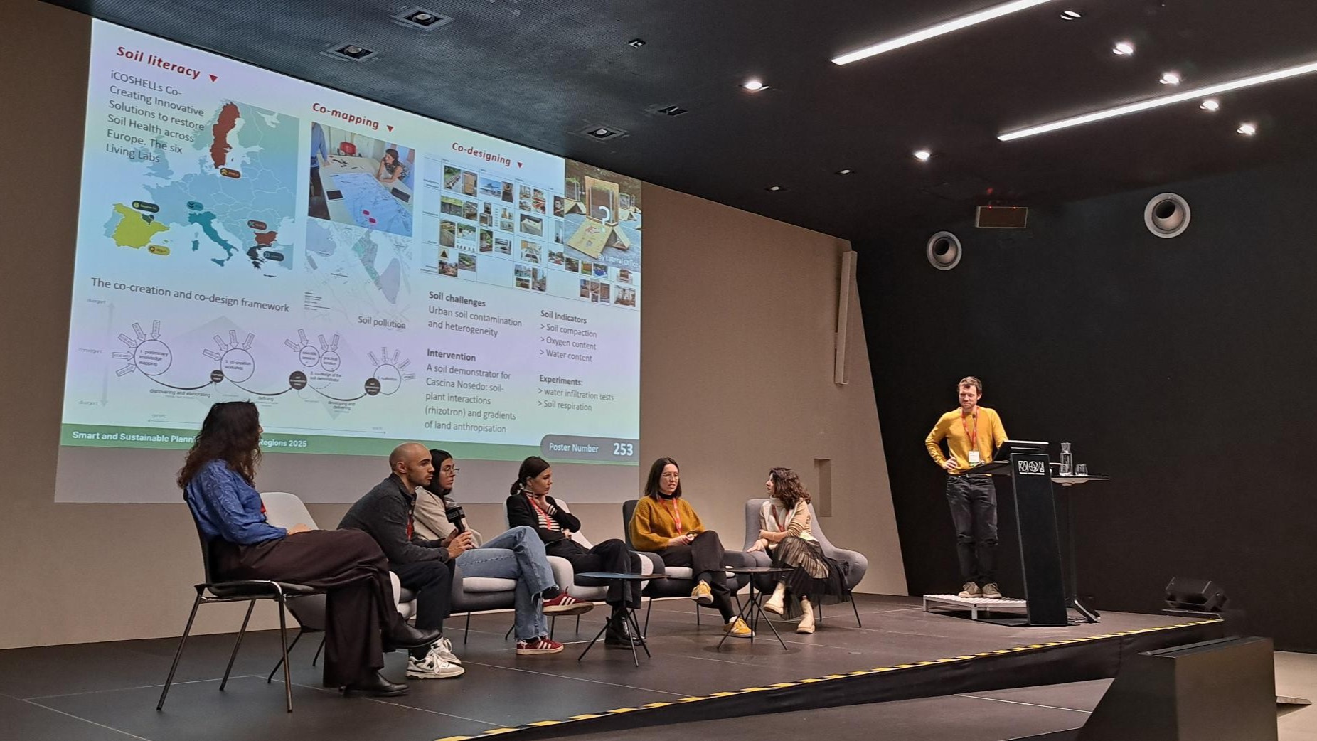
» A concrete approach was presented by Farah Makki (Politecnico di Milano) with URSOILL Living Labs: in implementing the objective of 100 soil living labs by 2030, POLIMI has proposed a speficifc approach for the urban scale, with Healthy Soil Living Labs (HSLLs). The conceptual framework aims to provide reflective and actionable tools to co create urban ecosystems that prioritize healthy urban soils as essential infrastructure. It is currently being tested in the project URSOILL.
Photo: Daniele Fiorentino
Photo: Daniele Fiorentino
Photos: Daniele Fiorentino
Key takeaways
» Desealing is a vital practice for reversing land take, as it partially restores soil ecosystem services and improves urban sustainability. However, there is a recognized risk of spreading soil pollution when highly polluted areas, such as former industrial sites, are desealed.
» Experiential Dimension: Restoring the experiential dimension of soil in cities through practices like creating community gardens, urban farms, and interactive workshops—is crucial for promoting soil awareness and literacy among local communities and planners, moving beyond abstract scientific knowledge.
» A key challenge remains translating the complex concept of soil quality (soil properties, soil functions, and soil ecosystem services) effectively for planners: SPADES proposes a new concept of “soil performances,” which aims to link specific soil functions and ecosystem services directly to common issues addressed in planning (e.g., flood mitigation, climate adaptation, biodiversity support).
» Planners must be equipped not only with relevant soil information but also with the ability to envision planning and design solutions that proactively integrate soil health considerations, ensuring that soil conditions are not merely perceived as supplementary boundary constraints, this is demand made by the Soil Monitoring Law, where Member States added a recital on the need for ‘good examples portfolios’.
Ulimately, planners should be equipped and enable to propose an optimal use of existing land based on the ecological condition of soil and to streamline soil health explicitly into existing planning and design concepts (such as green buffers, sponge cities, and nature-based solutions).